Guide to Suðureyri and its surroundings
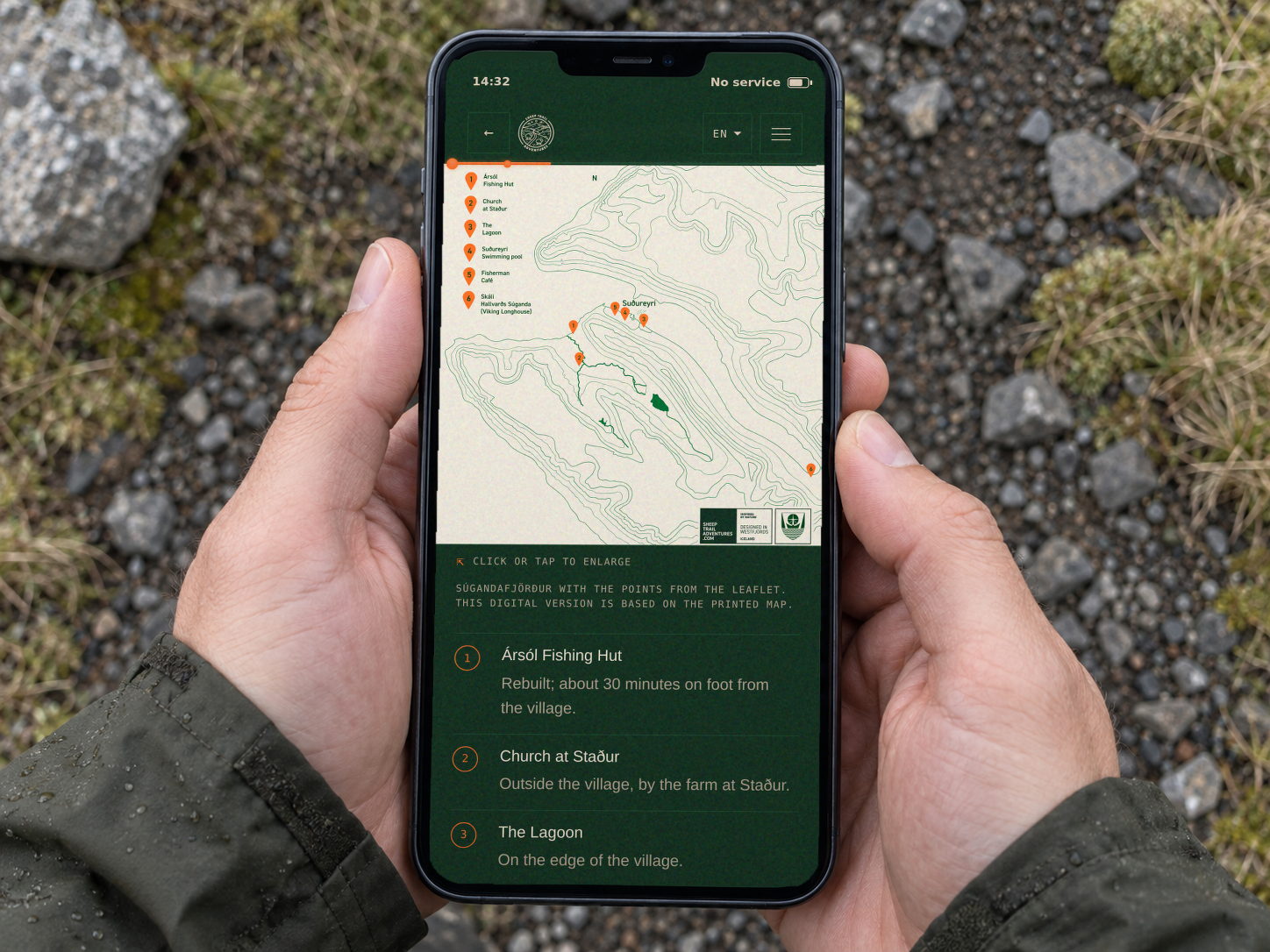
The drive from Ísafjörður, the single-lane tunnel, two maps and ten photographs. All on your phone, and it works without internet. Free, in English, Icelandic and Polish.
Trip different.
Follow your own trail. We’ll help you explore it.
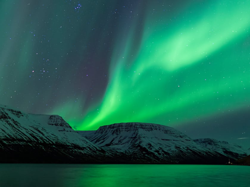
Discover our storyPrepare for your visit and get to know Súgandafjörður. Inside: photos of the fjord all year round and what is worth knowing before you set off.
You download one language. Downloads and updates need an internet connection.
More chapters are on the way.
No app · no sign-up · Last updated:
Project notes · Field updates
The drive from Ísafjörður, the single-lane tunnel, two maps and ten photographs. All on your phone, and it works without internet. Free, in English, Icelandic and Polish.
Event finished
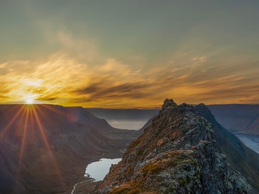
The Sun disappeared in Suðureyri for 1 minute and 46 seconds. See the exact timings of the event and the rules for watching an eclipse safely.
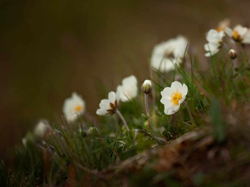
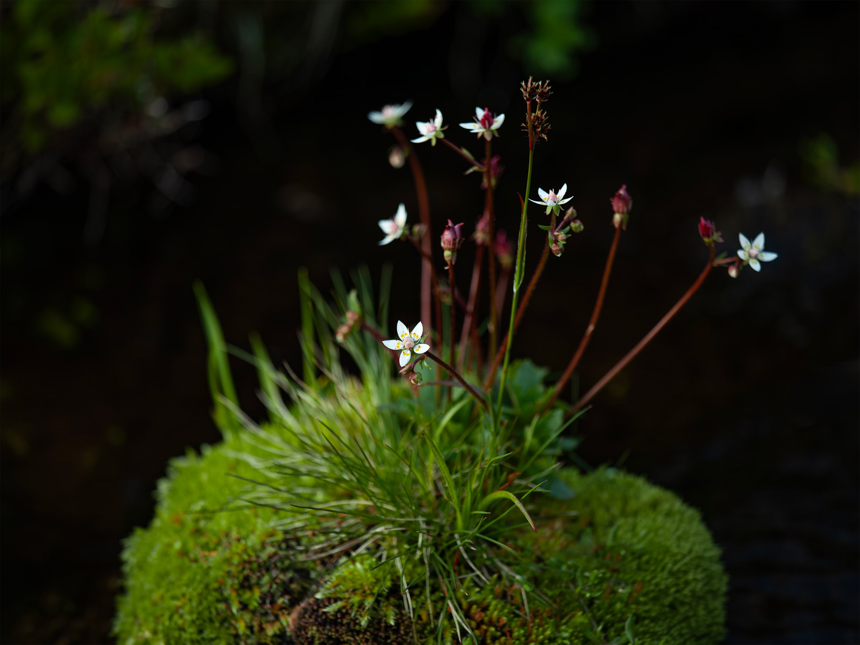
The white flowers of holtasóley give way to soft, feathery fruiting heads. Iceland's national flower shows how one ending can become the start of another journey.
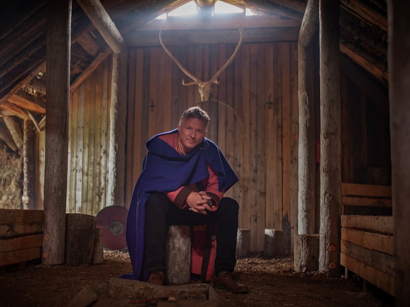
The turf house in Botn brings together the story of Hallvarður, archaeology and the shared work of people in Súgandafjörður.
Event finished
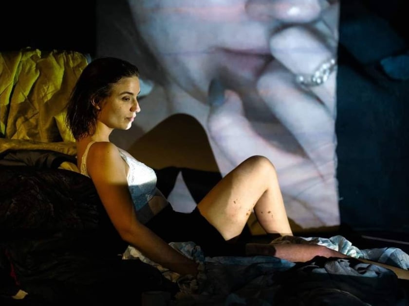
Three August days of theatre, music and family events in Suðureyri. All events were free, and the programme included a solo performance in Polish.
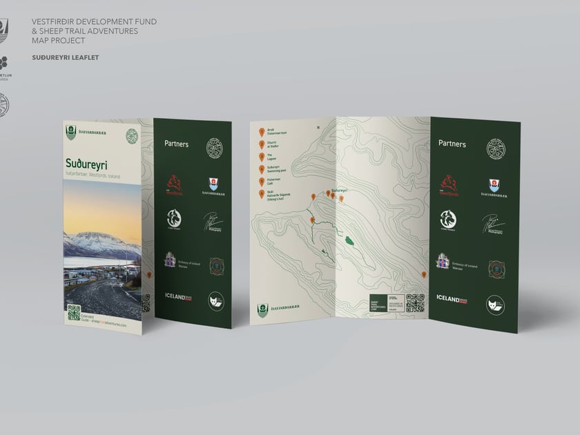
A new summer season is beginning, and much has changed this year. I have moved from Suðureyri to Reykjavík, but Súgandafjörður remains a place I call home.
We are finishing the first of what I hope will be many free resources introducing people to this region.
A precise map begins with years spent getting to know the terrain.
Why did I mainly encounter sheep in the mountains?
For the past seven years, Suðureyri has been my home, and the surrounding mountains have been part of my daily walks. I have walked the local trails, ridges and valleys, but I still lacked a truly accurate topographic map. That is why I began creating a map of Suðureyri based on direct knowledge of the terrain.
The aim of this project is to create accurate, clear topographic maps and guides for Suðureyri and, later, for the Westfjords.
These resources are intended to support thoughtful exploration, responsible tourism and the long-term care of the region’s natural and cultural heritage.
Current maps and guides do not describe the valley accurately or in enough detail.
Available maps of Suðureyri contain errors, including inaccurate topography, missing place names and other inconsistencies. This makes it harder for residents and visitors to understand the region fully.
Only two official trails are available, so large areas remain little known and rarely visited. This limits opportunities to explore the area around Suðureyri responsibly.
Existing trail guides do not meet the needs of today’s hikers. They are too general or lack the detail needed to travel through the terrain safely and with a clear understanding of the route.
Suðureyri and the wider Westfjords are still not widely known as destinations for nature-based tourism. One barrier is the lack of accurate, accessible and detailed maps and guides.
The work begins locally and grows through culture, community and care for the landscape.

Showing the character of the region through its local culture and history.

Supporting local pride and responsible tourism through the project’s resources.

Promoting responsible practices that protect the environment and local natural resources.

Gradually extending the project to new areas until it covers the whole of the Westfjords.
Future Goal
Local knowledge, research, cartography and design shape the project together.
Founder and project coordinator with a strong interest in mountains, hiking, cartography and nature.
Oversees map development and advises on analysis and the acquisition of geological data.
Historian and researcher, responsible for historical accuracy and source verification.
Local expert on regional names and cultural nuances, video creator, and translator.
English-language specialist who helps make the guide accessible to an international audience.
Designer responsible for the project’s creative direction and visual identity.
Funding, partnerships and local knowledge can help move the map from fieldwork into practical use.
The project aims to support responsible tourism, first in Suðureyri and later across the Westfjords. Responsible mapping and tourism practices can help protect the environment and strengthen the region’s cultural heritage.
We are seeking funding for map production, guidebook development and project promotion.
Collaboration with local businesses, tourism boards, and environmental groups.
We invite the local community to share feedback and help promote the project.
Place names, routes, corrections and old photographs from the people who know this area best.
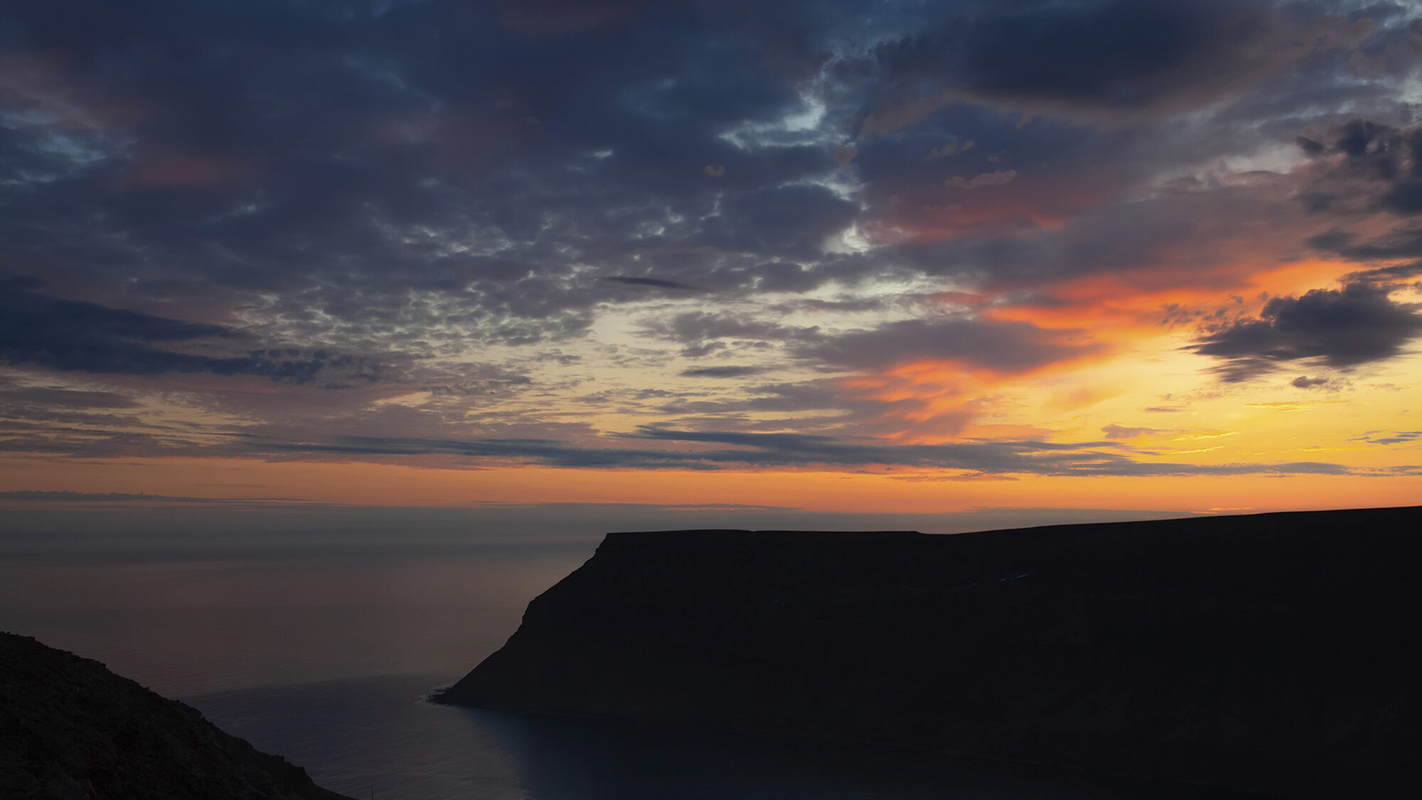
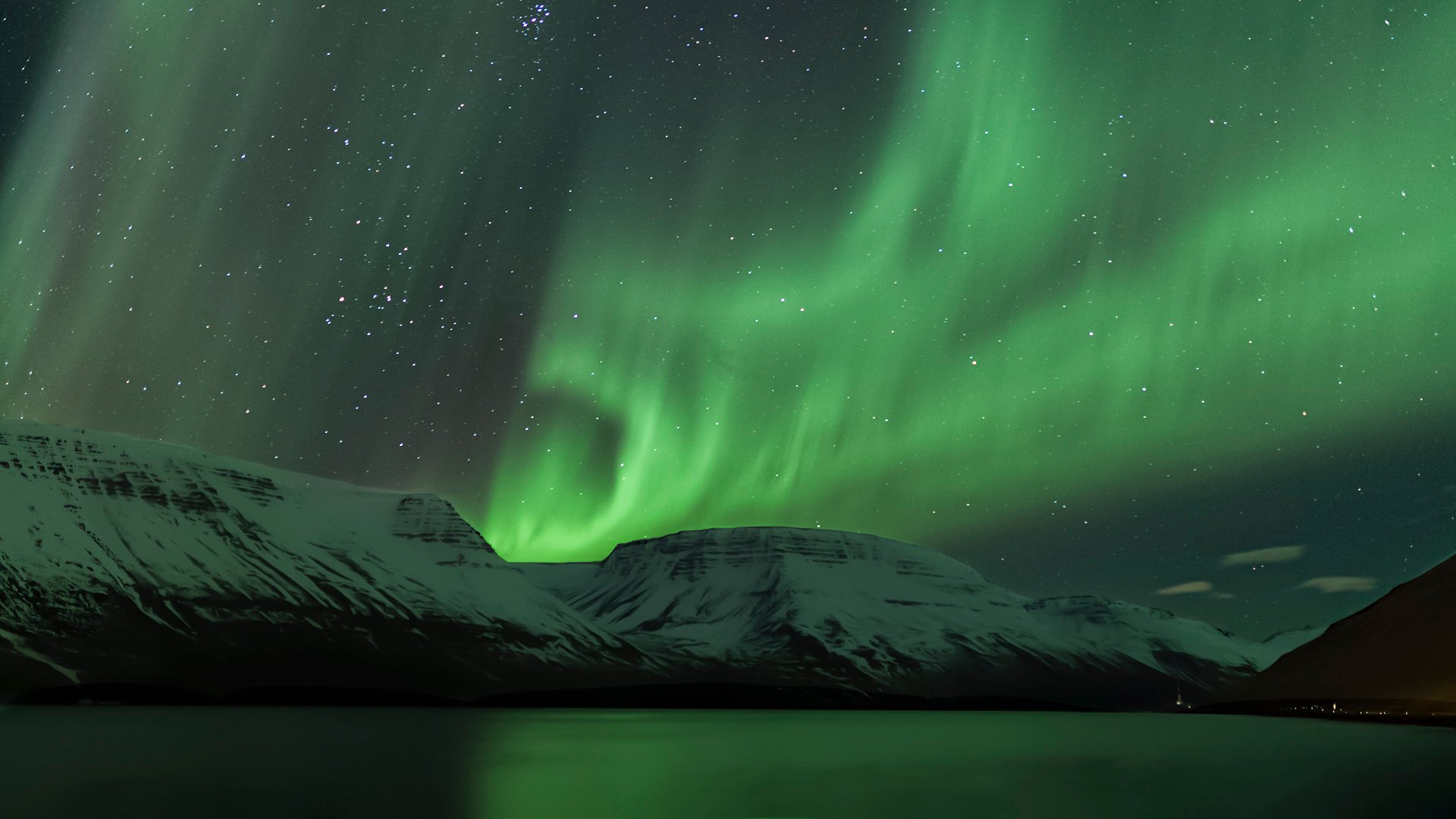
Suðureyri is a fishing village of about three hundred people at the head of Súgandafjörður. It is reached through a tunnel that opened in 1996. Beyond the village are ridges towards Önundarfjörður, the old road to Ísafjörður and the open north.
The project brings field knowledge into maps, guides and practical digital formats.

We are creating a modern topographic map that combines historical accuracy with a contemporary way of telling the region’s story.

We are planning an illustrated guidebook in print and as a free digital edition.

Easy online and offline access.

Materials planned in English, Icelandic, and Polish.

A planned mobile experience for easier access in the field.
Together, we can put Suðureyri and the Westfjords on the map — literally and figuratively.